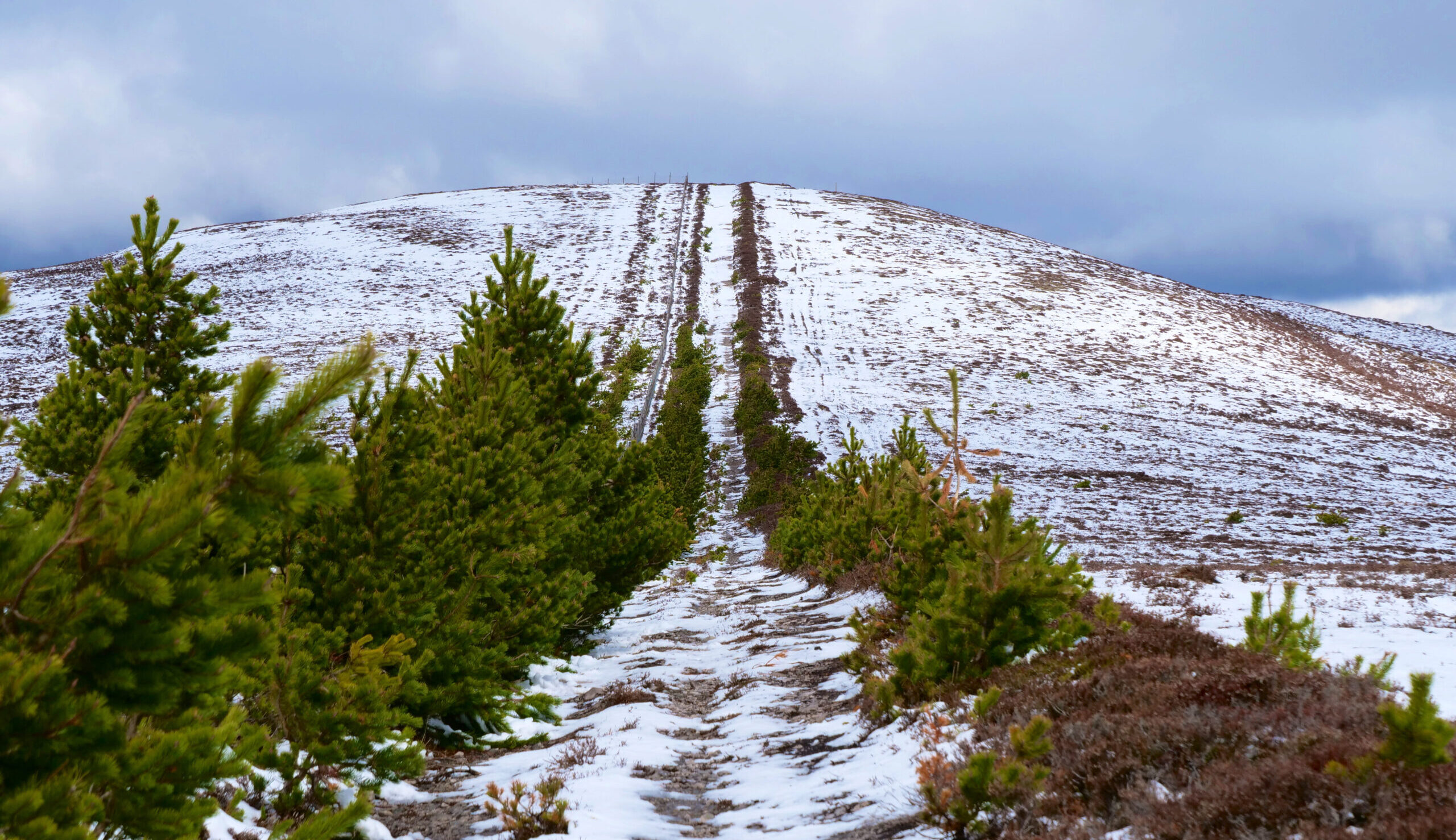
This challenging section features wild scenery and strenuous gradients. In good conditions, the Cairngorm views amply reward the challenge, but in poor visibility it demands good skills with map and compass, and in wet, stormy weather it is very exposed. Always consult a weather forecast before setting out, and follow the Mountain Code.
The start of this section from Ballindalloch also involves walking 2km of minor B roads (the B9137 and the B9008). Please take care whilst walking along these roads keeping close to the grass verge as possible, and if appropriate use the grass verge for walking on.
Although some people walk from Ballindalloch southward and arrange a lift or taxi back afterwards, it is worth considering taking a lift or taxi to Tomintoul and overnighting there, so as to walk back to Ballindalloch next day without time pressure.
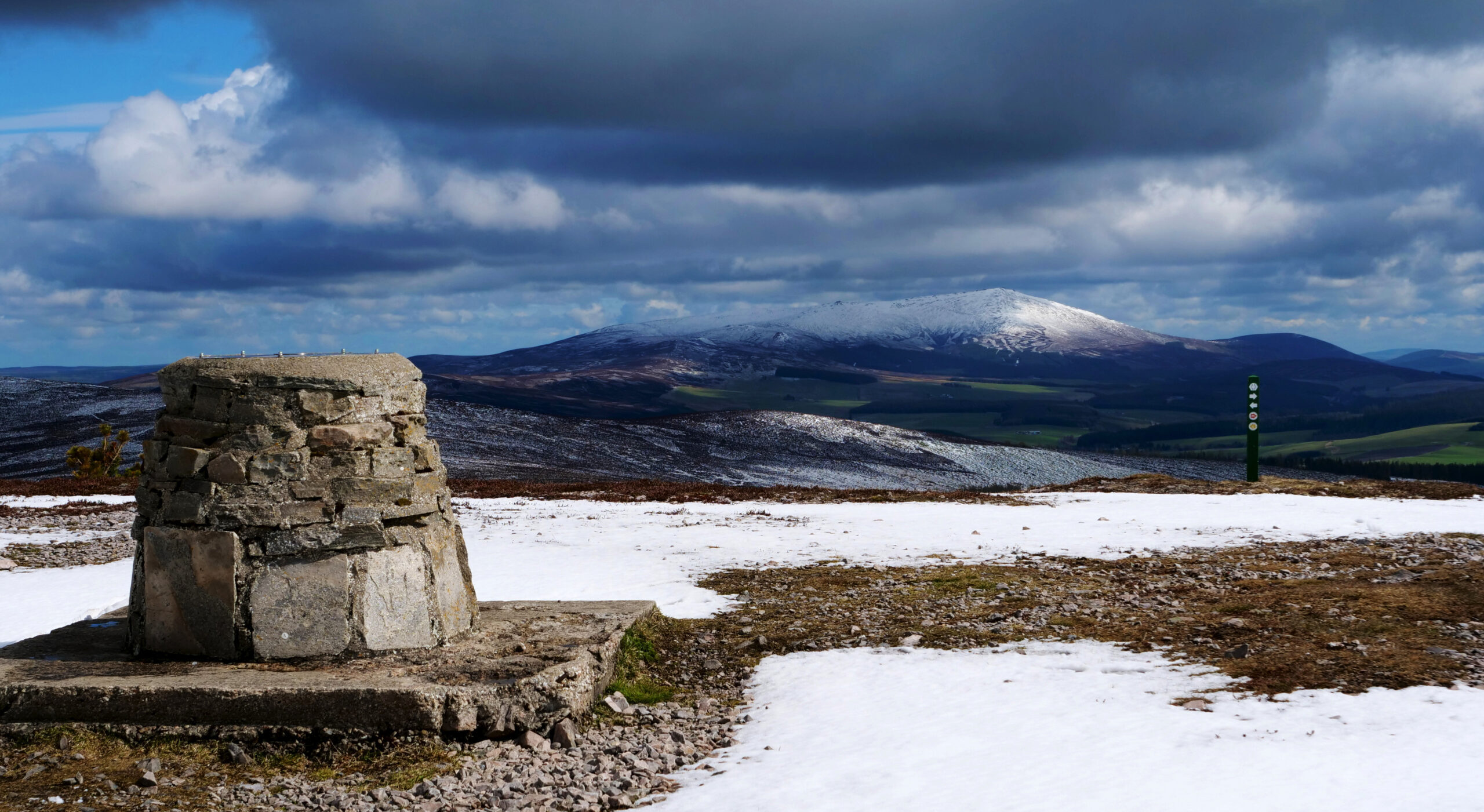
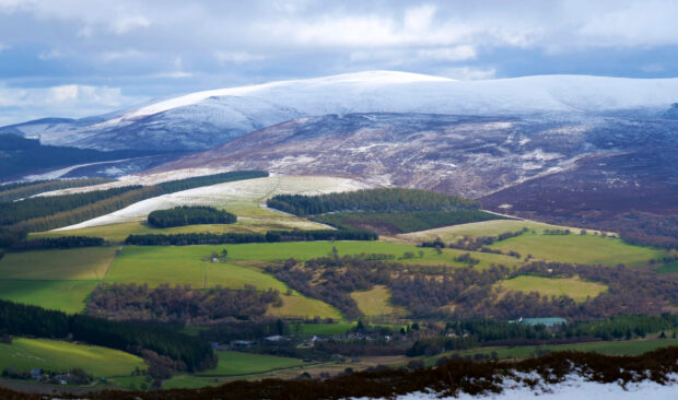 North over Glen Livet from Carn Daimh © Jacquetta Megarry
Section summary
15.6 miles/25.2 km
Ballindalloch (former station)
Tomintoul (village centre)
Moderate gradients over two sustained climbs, Cairnacay (475 m) and Carn Daimh (570 m), then steep descent to Tomintoul
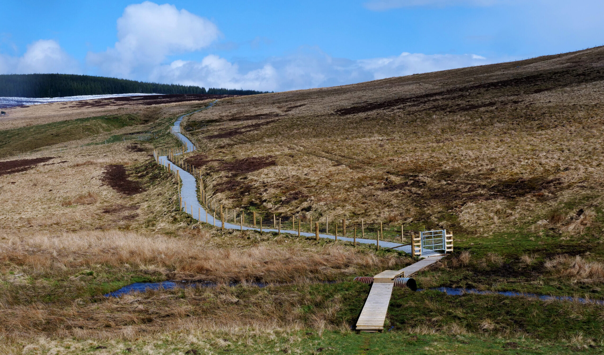
Mainly unsurfaced tracks and paths, often wet underfoot; high moorland, exposed and challenging in mist or snow
Varying surfaces and some narrow sections along valley and upland paths which can be challenging on the high exposed sections (up to 570 m/1870ft) during inclement weather. The Auldich to Deskie Farm section can be wet at times. Steep ground makes the ford of the Conglass Burn awkward for horses: instead you could reach Tomintoul by the minor road and turning right at the B9008.
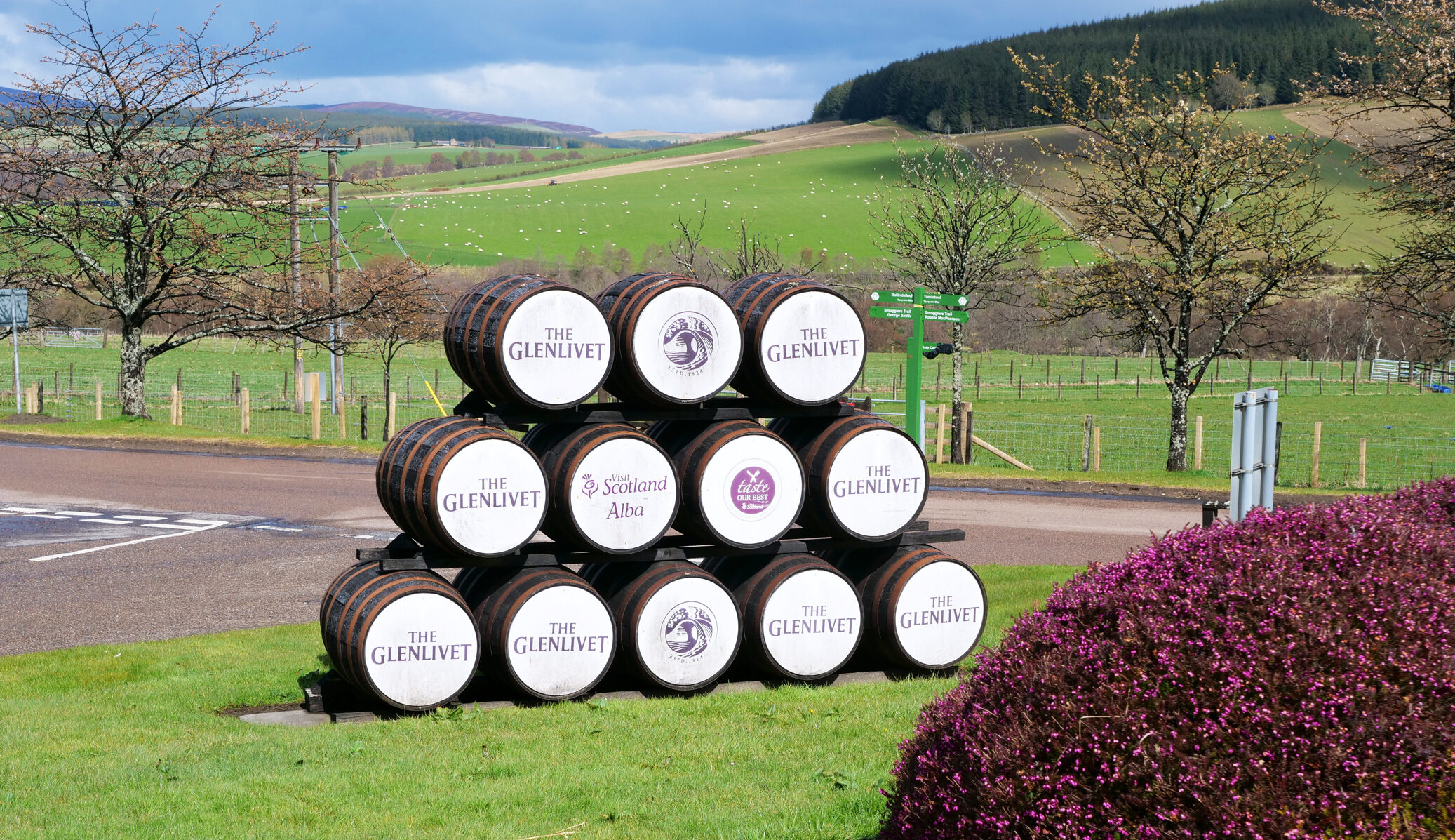
Ballindalloch (offroute: garage shop, café inside Golf Club), Glenlivet Distillery café, Tomintoul (choice)
Gallery of images: click for captions