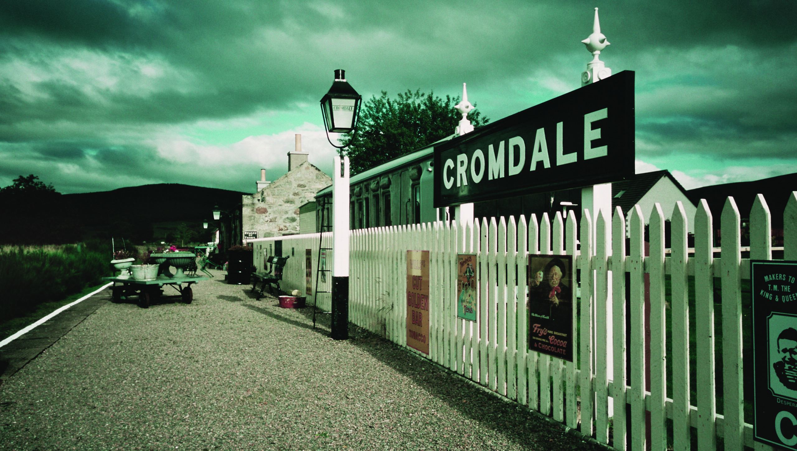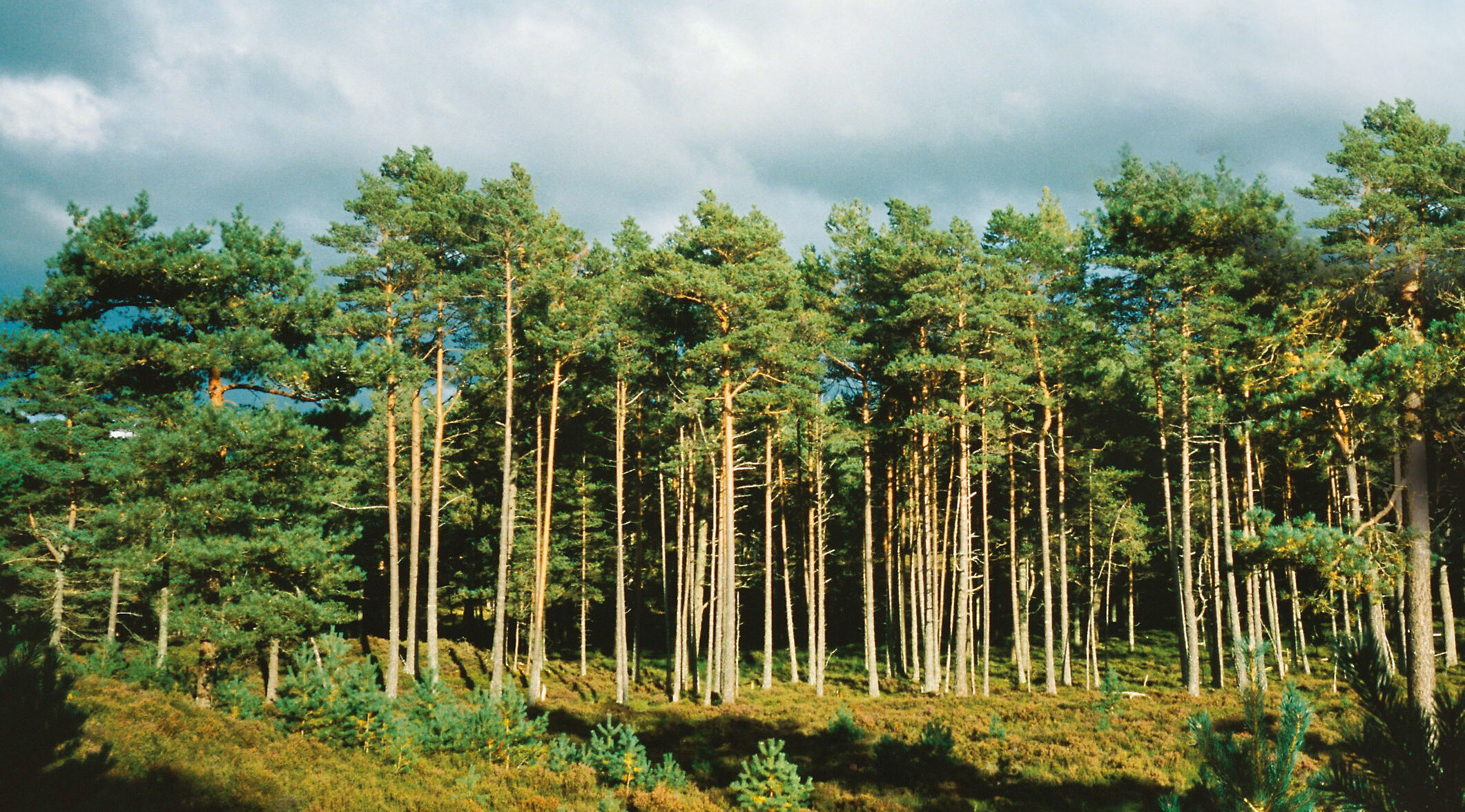
The Way runs on disused trackbed for over a mile, then climbs through woodland and grassy sections with some stepping stones and boardwalks. The Way passes through many chain-gates and undulates considerably over about 9 miles (14.5 km) through forest and farmland above the River Spey. After going through the Woods of Knockfrink it enters the Cairngorms National Park near Mains of Dalvey. After descending to Cromdale, it crosses the River Spey and goes through Anagach Woods to Grantown-on-Spey.
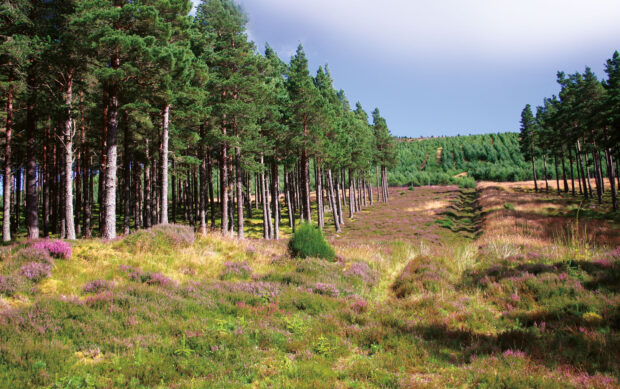 Woods of Knockfrink from the Way © Bob Jones
Section summary
13.7 miles/22.1 km
Ballindalloch (former station)
Grantown-on-Spey (village centre)
Undulating, with some short steep sections
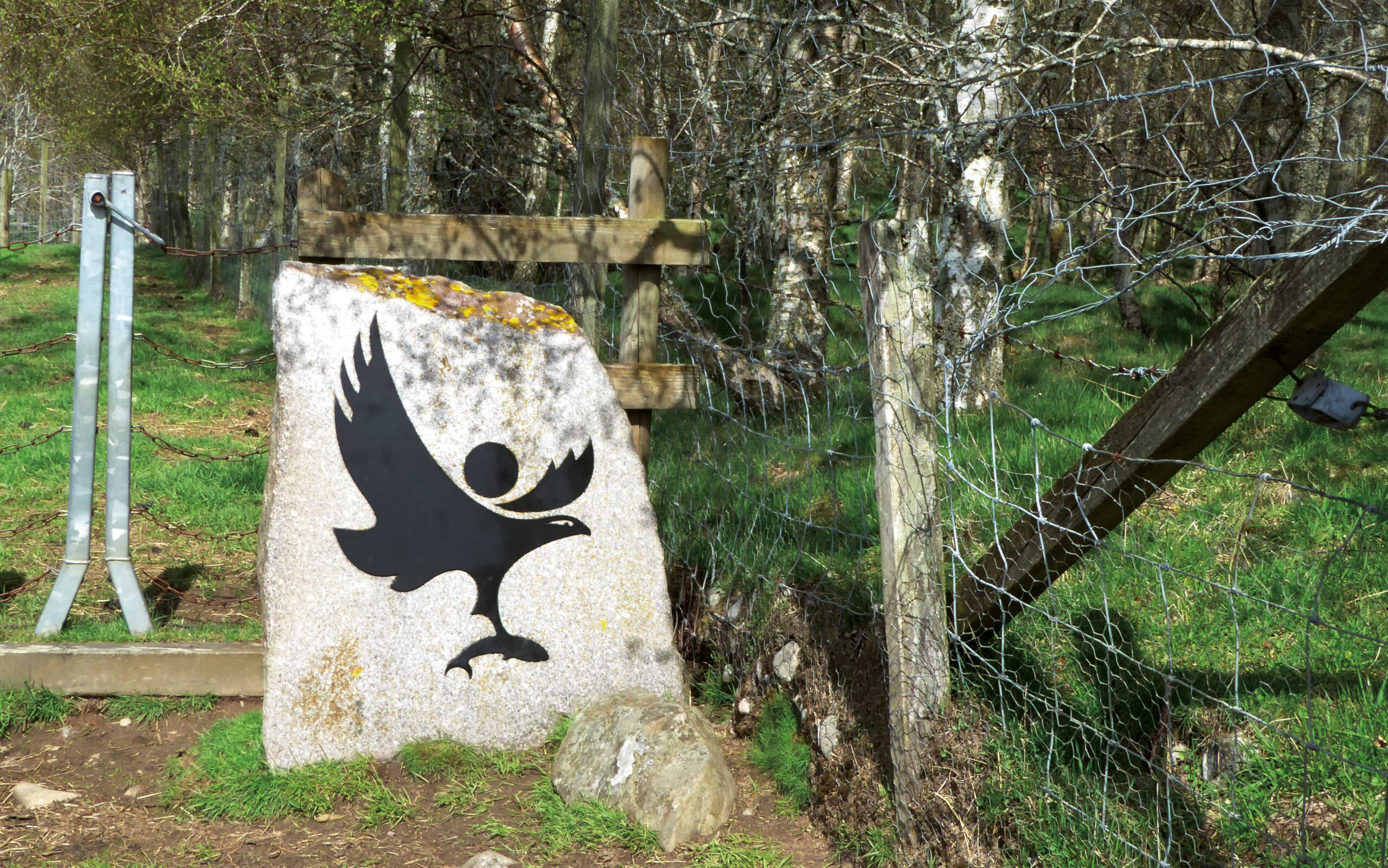
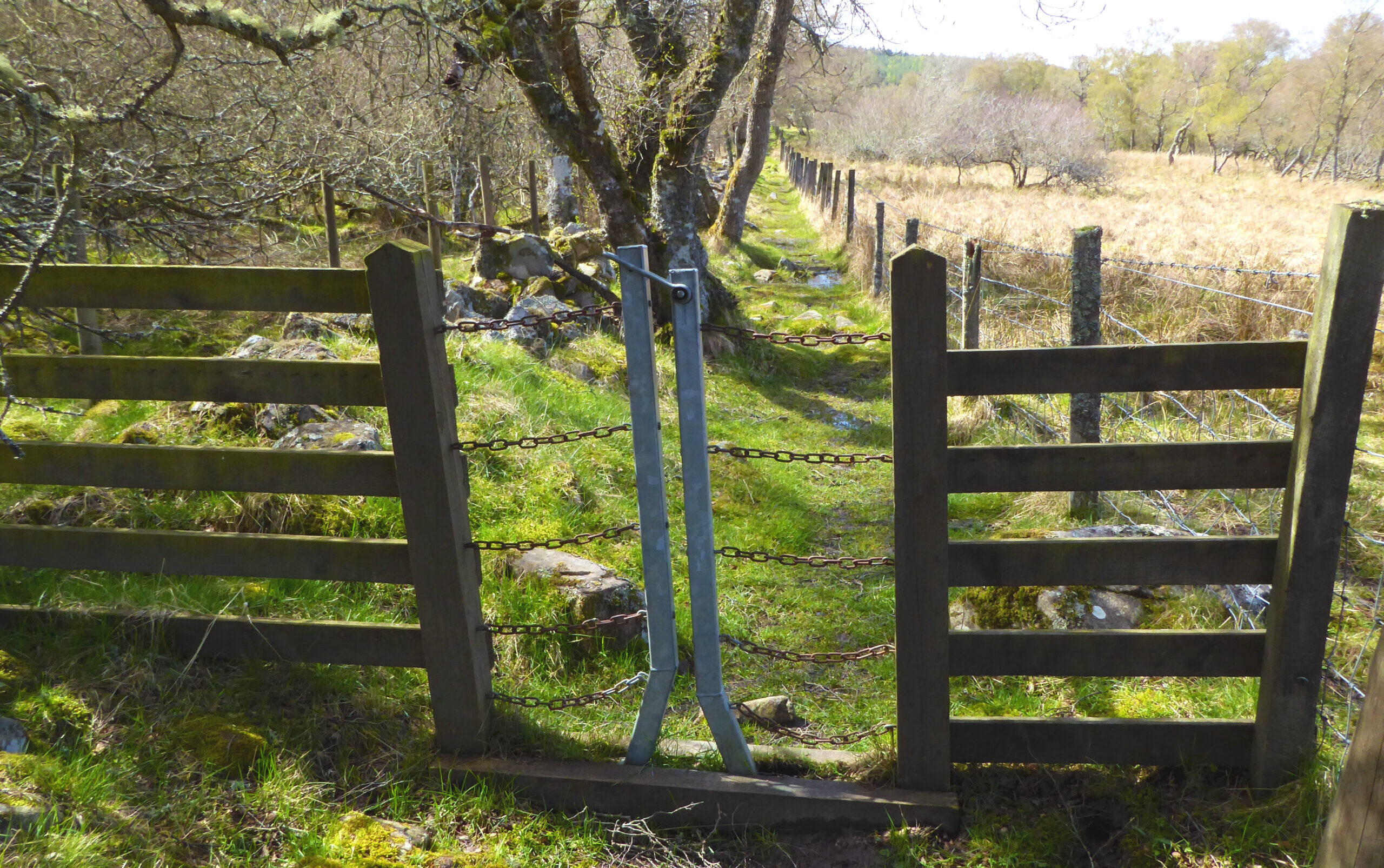
Progress may be slower than expected because of interruption by many chain gates; mainly forest roads, unsurfaced tracks and paths with some stepping stones and boardwalks; apt to be wet underfoot
Challenging terrain due to varying surfaces and gradients, and sections with poor drainage. Horses and cyclists would have difficulty negotiating the many chain-gates so it is recommended that they use the B9102 between Ballindalloch and Cromdale on the north bank of the River Spey instead.
Ballindalloch (offroute: garage shop, café inside Golf Club), Grantown-on-Spey (wide range)
Gallery of images: click for captions